Closed EifelBahnSteig - 20th stage: From Kyllburg to Bitburg-Erdorf
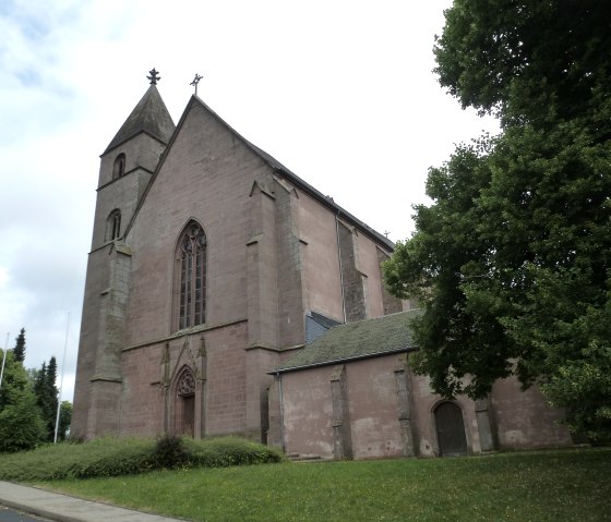
Kyllburg
Due to the flood event in July 2021, this route is closed. In addition, the Eifel railway line is not passable.
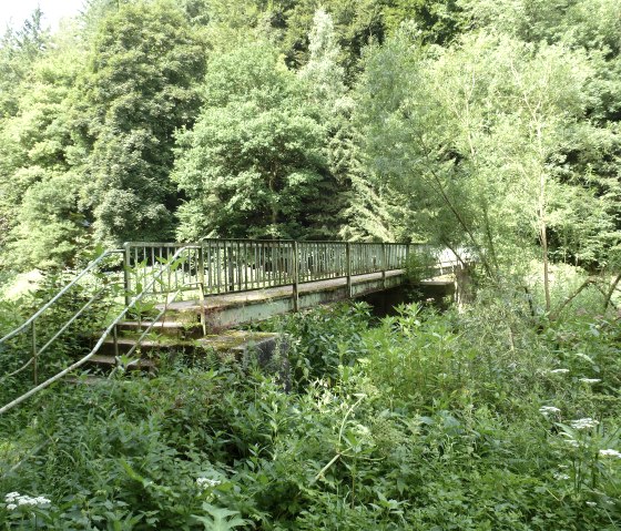
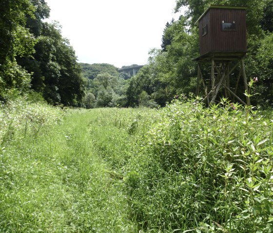
The most spectacular passages of this stage are probably those where we walk along the river, in places on near-natural, barely recognisable paths and always in complete solitude. Other highlights are the panoramas on the Taubenberg and the open landscapes around Otrang and until shortly before Erdorf. Last but not least, the imposing yet also elegant Kylltal bridge, which we get to see from various perspectives and even pass under in the middle of the tour, forms a charming contrast to the lonely hike.
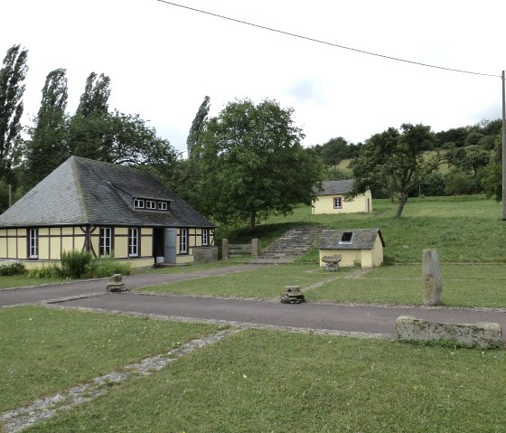
Behind Kyllburg, we soon reach the Kyll, climb up to the Taubenberg, hike for some time with a wide view to the southwest and descend through the forest to the Kyll again. Now we walk lonely along the river before we climb up to the Roman villa Otrang. From there, our path leads through mostly open terrain until before Erdorf, where we hike along the Kyll for a last time.
You can find all the latest details about the tour at www.naturaktiverleben.de/default.aspx?IndexTour=96.
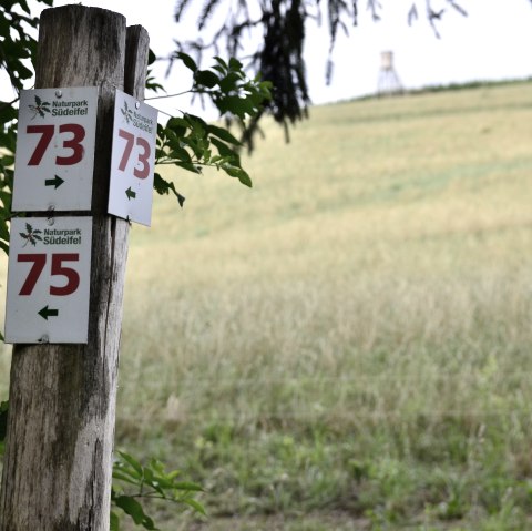
Please note: This hike is purely a GPS hike and is not signposted on site!
You can download the GPS coordinates as a GPX track onto your mobile phone and open it in a corresponding app, e.g. Outdooractive, GPX Viewer.


