GPS-assisted hiking

Hiking with GPS devices means hiking without the stress of orientation, and is great fun! The South Eifel can be discovered and hiked across on many hiking routes with different lengths, independent of signage and markings. Your GPS device will lead you safely through our diverse landscape and let you focus on looking at the important things.

GPS devices can be hired from the Bitburger Land tourist information centre for 7.50 EUR/day. Deposit for one GPS device: 5 EUR.

mehr lesen

Share content:

Bitte akzeptieren Sie den Einsatz aller Cookies, um den Inhalt dieser Seite sehen zu können.

Alle Cookies Freigeben
Mariensäule Kyllburg, © TI Bitburger Land

GPS Tour: Heights and Valleys Tour (TV Hiking Day)

Lenght: 19.8 km
Route: Gemeindehalle Malberg, Finstinger Str., 54655 Malberg to Gemeindehalle Malberg, Finstinger Str., 54655 Malberg
Difficulty: difficult

More information
Wallfahrtskirche und ehemaliges Pfarrhaus in Auw an der Kyll, © NaturAktivErleben

EifelBahnSteig - 25th stage: From Auw an der Kyll to Daufenbach

Lenght: 14.6 km
Route: Bahnhof Auw an der Kyll to Bahnhof Daufenbach
Difficulty: medium

More information
Ein Traumplatz zum Picknicken und Genießen, © NaturAktivErleben

Closed EifelBahnSteig - 24th stage: From Speicher to Auw an der Kyll

Lenght: 13.4 km
Route: Bahnhof Speicher to Bahnhof Auw an der Kyll
Difficulty: medium

More information
ehemaliger Steinbruch bei Gondorf, © Tourist-Information Bitburger Land_Melanie Salzburger

GPS hike: Through the former quarry near Gondorf

Lenght: 5.5 km
Route: Gondorf to Gondorf
Difficulty: easy

More information
Startpunkt Winterlindenallee, © Tourist-Information Bitburger Land

Königswäldchen forest experience path

Lenght: 3 km
Route: Parkplatz L32 Königswäldchen to Parkplatz L32 Königswäldchen
Difficulty: easy

More information
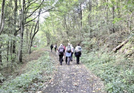
Schöne Waldpassagen, © NaturAktivErleben

EifelBahnSteig - 17th stage: From Densborn to Usch/Zendscheid

Lenght: 11.3 km
Route: Bahnhof Densborn to Bahnhof Usch/Zendscheid
Difficulty: medium

More information
Kirche von Hüttingen und der Dorfwasserfall, © NaturAktivErleben

EifelBahnSteig - 22nd stage: From Hüttingen to Philippsheim

Lenght: 15.3 km
Route: Bahnhof Hüttingen to Bahnhof Philippsheim
Difficulty: medium

More information
Kapelle in St. Johann, © NaturAktivErleben

EifelBahnSteig - 18th stage: From Usch/Zendscheid to Sankt Thomas

Lenght: 13 km
Route: Bahnhof Usch/Zendscheid to Bahnhof Sankt Thomas
Difficulty: medium

More information
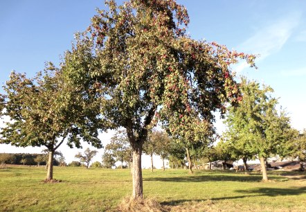
Streuobstwiesen oberhalb von Erdorf mit Wegkreuz von 1804, © NaturAktivErleben

Closed EifelBahnSteig - 21st stage: From Bitburg-Erdorf to Hüttingen

Lenght: 9 km
Route: Bahnhof Bitburg-Erdorf to Bahnhof Hüttingen
Difficulty: easy

More information
Hochwaldromantik, © NaturAktivErleben

Closed EifelBahnSteig - 19th stage: From St. Thomas to Kyllburg

Lenght: 24.1 km
Route: Bahnhof Sankt Thomas to Bahnhof Kyllburg
Difficulty: difficult

More information