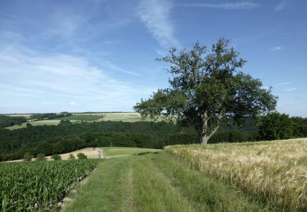
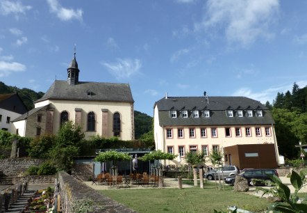
EifelBahnSteig, © NaturAktivErleben

EifelBahnSteig

Due to the flood event in July 2021, the Eifel railway line is currently not completely passable.

The 528 km long EifelBahnSteig is a pure GPS trail, and its name already refers to what makes this trail so special: you hike from station to station and explore the most beautiful landscapes along the entire Eifelbahn route on these tours. Each stage starts at a station and ends at the following station. So these are all long-distance hikes on which the hiker gets to know the most beautiful landscapes along the entire Eifelbahn route. You can get back to the starting point in just a few minutes by taking the Eifelbahn.

The EifelBahnSteig is not about getting from A to B by the fastest route. Even though the starting and finishing stations are often not far apart, the stages can be quite long, because as many beauties and special features of the surrounding landscape as possible are included in the route. The EifelBahnSteig runs for the most part on natural paths that have no markings; small paths, lonely passages and frequent changes of direction are preferred. Due to their natural character, these paths can be partly overgrown with tall grasses in summer or muddy and rutted after heavy rainfall. On the other hand, the routes are exceptionally beautiful and lead into regions that are often not touched by conventional hiking routes.

Some stages of the EifelBahnSteig also lead through the Bitburger Land region. Here you will find stages 17 to 25, which lead from Densborn to Daufenbach.

mehr lesen

Share content:

Bitte akzeptieren Sie den Einsatz aller Cookies, um den Inhalt dieser Seite sehen zu können.

Alle Cookies Freigeben
Hochwaldromantik, © NaturAktivErleben

Closed EifelBahnSteig - 19th stage: From St. Thomas to Kyllburg

Lenght: 24.1 km
Route: Bahnhof Sankt Thomas to Bahnhof Kyllburg
Difficulty: difficult

More information
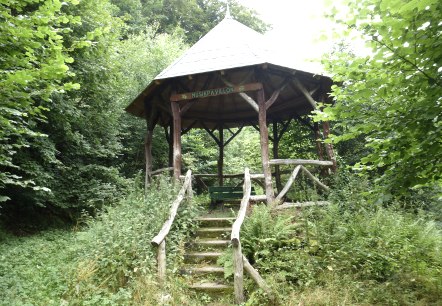
Musikpavillon bei Kyllburg, © NaturAktivErleben

Closed EifelBahnSteig - 20th stage: From Kyllburg to Bitburg-Erdorf

Lenght: 19.9 km
Route: Bahnhof Kyllburg to Bahnhof Bitburg-Erdorf
Difficulty: difficult

More information
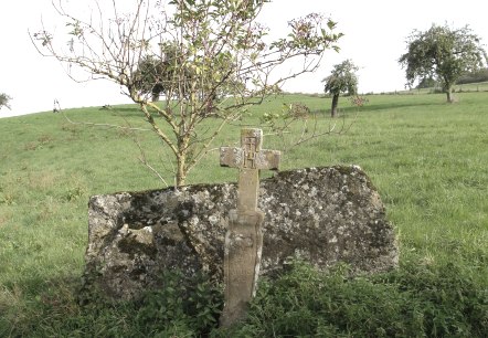
Streuobstwiesen oberhalb von Erdorf mit Wegkreuz von 1804, © NaturAktivErleben

Closed EifelBahnSteig - 21st stage: From Bitburg-Erdorf to Hüttingen

Lenght: 9 km
Route: Bahnhof Bitburg-Erdorf to Bahnhof Hüttingen
Difficulty: easy

More information
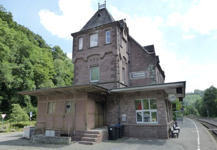
Bahnhof in Speicher, © NaturAktivErleben

Closed EifelBahnSteig - 23rd stage: From Philippsheim to Speicher

Lenght: 12.6 km
Route: Bahnhof Philippsheim to Bahnhof Speicher
Difficulty: easy

More information
Ein Traumplatz zum Picknicken und Genießen, © NaturAktivErleben

Closed EifelBahnSteig - 24th stage: From Speicher to Auw an der Kyll

Lenght: 13.4 km
Route: Bahnhof Speicher to Bahnhof Auw an der Kyll
Difficulty: medium

More information
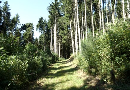
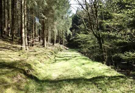
Schöne Waldpassagen, © NaturAktivErleben

EifelBahnSteig - 17th stage: From Densborn to Usch/Zendscheid

Lenght: 11.3 km
Route: Bahnhof Densborn to Bahnhof Usch/Zendscheid
Difficulty: medium

More information
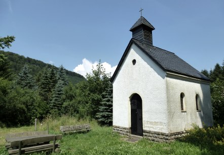
Kapelle in St. Johann, © NaturAktivErleben

EifelBahnSteig - 18th stage: From Usch/Zendscheid to Sankt Thomas

Lenght: 13 km
Route: Bahnhof Usch/Zendscheid to Bahnhof Sankt Thomas
Difficulty: medium

More information
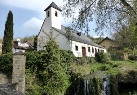
Kirche von Hüttingen und der Dorfwasserfall, © NaturAktivErleben

EifelBahnSteig - 22nd stage: From Hüttingen to Philippsheim

Lenght: 15.3 km
Route: Bahnhof Hüttingen to Bahnhof Philippsheim
Difficulty: medium

More information
Wallfahrtskirche und ehemaliges Pfarrhaus in Auw an der Kyll, © NaturAktivErleben

EifelBahnSteig - 25th stage: From Auw an der Kyll to Daufenbach

Lenght: 14.6 km
Route: Bahnhof Auw an der Kyll to Bahnhof Daufenbach
Difficulty: medium

More information