Regional hiking trails

Here you will find, among other things, a selection of hiking trails of the Eifelverein in the Bitburger Land. The trails are marked with a three-coloured "E" (blue: for sky and water; brown: for earth and soil; green for meadows and forests) on a white mirror; above it "EIFELVEREIN", below it on a green field the name of the trail.

This section also contains a selection of local hiking trails in the Bitburger Land holiday region.

mehr lesen

Share content:

Bitte akzeptieren Sie den Einsatz aller Cookies, um den Inhalt dieser Seite sehen zu können.

Alle Cookies Freigeben
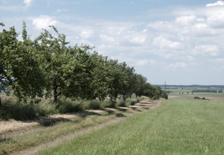
Eine Allee von Obstbäumen säumt einen Feldweg in einer grünen, ländlichen Landschaft unter einem blauen Himmel mit Wolken., © TI Bitburger Land

Gransdorf G5

Lenght: 10.2 km
Route: Dorfplatz, Brunnenstraße, 54533 Gransdorf to Dorfplatz, Brunnenstraße, 54533 Gransdorf

More information
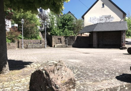
Ein ruhiger Dorfplatz mit gepflastertem Boden, umgeben von Bäumen und einem Gebäude mit Wandmalerei. Laternen und Pflanzen schmücken den Platz., © Tourist-Information Bitburger Land

Gransdorf G4

Lenght: 4.3 km
Route: Dorfplatz, Brunnenstraße, 54533 Gransdorf to Dorfplatz, Brunnenstraße, 54533 Gransdorf

More information
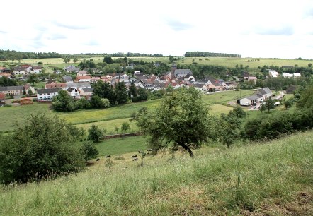
Blick auf Gransdorf: Im Vordergrund grüne Wiesen und Bäume, im Hintergrund das Dorf mit Häusern und einer Kirche, umgeben von Feldern., © Doris Pauels

Gransdorf G3

Lenght: 5.2 km
Route: Dorfplatz, Brunnenstraße, 54533 Gransdorf to Dorfplatz, Brunnenstraße, 54533 Gransdorf

More information
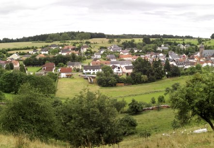
Panoramaansicht von Gransdorf mit Häusern, grünen Feldern und Bäumen unter bewölktem Himmel., © Doris Pauels

Gransdorf G2

Lenght: 4.7 km

More information
Dorfplatz mit einer Kirche aus Backstein, umgeben von bunten Häusern. Ein Baum im Vordergrund, bewölkter Himmel im Hintergrund., © TI Bitburger Land S.Wagner

Gransdorf G1

Lenght: 5.5 km

More information
Colorful autumn trees at the edge of the forest with a raised hide and a green field in the foreground., © Berscheid

Badem B3

Lenght: 7.6 km
Route: Gemeindehalle Badem, Hubert-Lux-Straße, 54657 Badem to Gemeindehalle Badem, Hubert-Lux-Straße, 54657 Badem

More information
An asphalt path winds its way through a green landscape of trees and meadows. Stones line the path., © Berscheid

Badem B2

Lenght: 8.4 km
Route: Gemeindehalle Badem, Hubert-Lux-Straße, 54657 Badem to Gemeindehalle Badem, Hubert-Lux-Straße, 54657 Badem

More information
Green orchard meadow with fruit trees, next to it a narrow path. A hiker in a red jacket walks along the path., © Berscheid

Badem B1

Lenght: 6 km
Route: Gemeindehalle Badem, Hubert-Lux-Straße, 54657 Badem to Gemeindehalle Badem, Hubert-Lux-Straße, 54657 Badem

More information
Erntehof Ausgangspunkt, © M. Bach

Neidenbach - Erntehof E1

Lenght: 3.8 km
Route: Erntehof 4, 54657 Neidenbach to Erntehof 4, 54657 Neidenbach
Difficulty: easy

More information
Obertor, © Melanie Lonien

Pestflämmchenweg Dudeldorf

Lenght: 5 km
Difficulty: easy

More information